

Electronics9 764›
- Computers2 697
- Headphones643
- TV, audio and home appliances4 610
- Security10
- Office equipment195
Home and garden3 153›
- For the home82
- For the garden315
- Tools656
Hobbies and modelling1 551›
Phones and accessories1 268›
- Cables21
Automotive1 249›
Sports and outdoors1 028›
Kids575›
Pets246›
Tattoo58
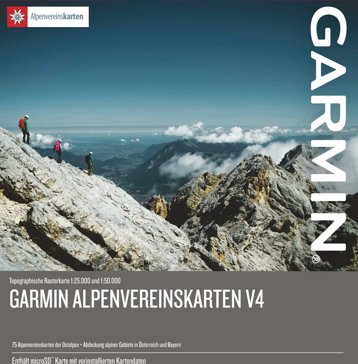
Garmin Alps Street Map v4 – Eastern Alps topographic maps, microSD/SD
Offer listed on WystawCoChcesz.pl. The product is sold by the kupcochcesz.pl online shop.
Garmin Alps Street Map v4 – topographic maps on a microSD/SD card
Alps v4 is a set of high-quality raster maps covering the Eastern Alps – mountain areas in Austria and Germany and partly in Italy. The data is supplied by the German and Austrian Alpine Club and stored on a microSD card with an SD adapter, ready to insert into a compatible Garmin device.
Scale and coverage
The maps are available at 1:25,000 and 1:50,000 scales, and the extended coverage also includes BEV raster maps at 1:50,000. In total, the card holds 75 Alpine Club raster maps, optimized for compatible Garmin devices.
Points of interest and trails
The database contains more than 80,000 points of interest (POIs), including mountain huts, towns, railway stations and peaks. The directory of mountain huts of the local Alpine Club provides photos, phone numbers and elevations, and there are also more than 2,600 ski routes in Germany and Austria.
Specifications
| Region | Eastern Alps (Austria, Germany, partly Italy) |
| Media | microSD card with SD adapter |
| Scale | 1:25,000 and 1:50,000 |
| Number of raster maps | 75 |
| Points of interest | over 80,000 |
- Producent
- Garmin
Product reviews
There are no reviews of this product yet. Be the first to add one.
Similar listings: Garmin Alps Street Map v4 – Eastern Alps topographic maps, microSD/SD
See more →






Recently viewed
571,00 zł
Buy in the shop