
Electronics9 764›
- Computers2 697
- Headphones643
- TV, audio and home appliances4 610
- Security10
- Office equipment195
Home and garden3 153›
- For the home82
- For the garden315
- Tools656
Hobbies and modelling1 551›
Phones and accessories1 268›
- Cables21
Automotive1 249›
Sports and outdoors1 028›
Kids575›
Pets246›
Tattoo58
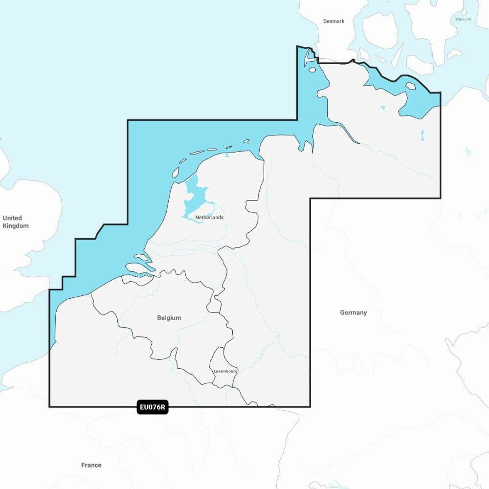
Garmin Navionics+ EU076R - map of Benelux and western Germany
Offer listed on WystawCoChcesz.pl. The product is sold by the kupcochcesz.pl online shop.
Garmin Navionics+ EU076R - map of Benelux and western Germany
The Navionics+ EU076R card is a Garmin electronic marine chart covering the waters of the Benelux and western Germany. It is intended for compatible Garmin chartplotters and combines coastal and inland cartography in one product, making it easier to plan routes that join sea stretches with navigation on the rivers and canals of this region.
Mapping features
The chart combines detailed SonarChart HD bathymetric data with route planning tools that suggest paths based on boat settings and chart data. It also supports the Community Edits layer, showing local information uploaded by other boaters.
Updates
The content of the Navionics+ card can be updated by downloading new data through Navionics software on a computer or wirelessly via the Navionics Boating app, if the plotter supports synchronization. The card in microSD/SD format just needs to be inserted into the slot of a compatible plotter to get immediate access to cartography covering the whole region.
Specifications
| Catalog number | EU076R |
| Manufacturer | Garmin |
| Region | Benelux and Western Germany |
| Format | microSD/SD card |
| Weight | 250 g |
| Warranty | 2 years |
- Kod producenta
- EU076R
- Producent
- Garmin
Product reviews
There are no reviews of this product yet. Be the first to add one.
Similar listings: Garmin Navionics+ EU076R - map of Benelux and western Germany
See more →



Recently viewed
694,00 zł
Buy in the shop